Detailed Cemetery Information
|
CEMETERY NAME: Smith Bend-Coon Creek ADDITIONAL/ALTERNATE NAMES: Coon Creek BCHC CEMETERY ID NUMBER: 109 THC CEMETERY NUMBER: BQ-C030 THC ATLAS NUMBER: 7035003005 HISTORICAL DESIGNATION: Texas Historical Marker (1978) NEAREST CITY OR COMMUNITY: Smiths Bend USGS 7-1/2 MINUTE QUAD MAP: Smiths Bend (3197-431) LATITUDE: 31.82835398 LONGITUDE: -97.34288619 SURVEY NAME AND ABSTRACT NUMBER: W. Smith/A-775 | 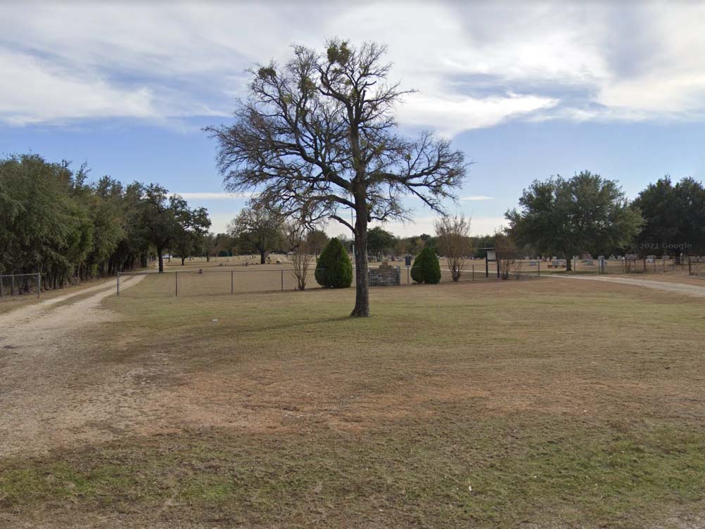 (click image to enlarge) |
| MAP LOCATION (centroid of cemetery): click here to show on Google Maps Map Note: The location shown with the red marker on Google Maps will be the location of either the centroid of the cemetery if the exact location is known or the general vicinity if the exact location is not known. Google Maps may also place its own marker on the map (usually in green) but it is not necessarily reliable. BCHC DIRECTIONS:From the intersection of SH 22 and FM 56 in Laguna Park, drive 1.9 miles south on FM 56; turn left onto CR 2114; drive 1.2 miles to cemetery entrance on right. THC DIRECTIONS:Smith?s Bend; Located on FM 2114, right below the dam at Lake Whitney. Lat: 314943N Long: 0972034W BCHC 1985 CEMETERY BOOK: Vol. I, pg. 20Note: The two-volume Bosque County Cemetery Records listed all known cemeteries and all persons buried in these cemeteries at the time of publication. The information included dates from the gravestones and, in some cases, the inscriptions from the gravestones. Although these volumes are now out-of-print, they are available for reference at the Bosque County Collection, and the information contained in these volumes has been converted to an online database searchable by name. NUMBER OF GRAVES: 851 click here to list burials\nLINK TO TEXAS HISTORICAL COMMISSION ATLAS DETAILS: THC Atlas Web Page LINK TO FIND-A-GRAVE ENTRY: Find-A-Grave Web Page NOTES: This cemetery was orginally surveyed by Mrs. Marshall V. Bonds prior to 1985. At the entrance, the cemetery name appears on a 5' x 7' brick wall. Beside it is an 18" x 24" official Texas Historical Marker. Incised on the back: Mmes. Marshall V. Bonds, Lois Smith Hill, Camille Smith Womack. Dedication took place on 29 Oct 1978.The cemetery depends on donations for its maintenance. Throughout the years, some graves went unmarked except for a flat rock, many times with no inscription. Exact whereabouts of many graves, especially of babies, is indefinite. The original piece of land was given by John J. and Margaret Butler Smith, Founders of Smith Bend Community. Their son, Burton Smith, was the first buried here. His monument bears the dates April 30, 1832 - July 5, 1856. He died suddenly while he, with several other men, were pursuing a bear along the Brazos River on a very hot day. J. D. Kirven donated land in 1968 to enlarge the cemetery as did John H. Holt several years before 1985. |
Go Back to Cemetery Listings Page
