Detailed Cemetery Information
|
CEMETERY NAME: Meridian ADDITIONAL/ALTERNATE NAMES: BCHC CEMETERY ID NUMBER: 82 THC CEMETERY NUMBER: BQ-C025 THC ATLAS NUMBER: 7035002505 HISTORICAL DESIGNATION: none NEAREST CITY OR COMMUNITY: Meridian USGS 7-1/2 MINUTE QUAD MAP: Meridian (3197-343) LATITUDE: 31.92142053 LONGITUDE: -97.65331918 SURVEY NAME AND ABSTRACT NUMBER: W. H. King/A-440; J. J. King/A-454 | 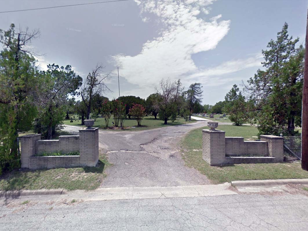 (click image to enlarge) |
| MAP LOCATION (centroid of cemetery): click here to show on Google Maps Map Note: The location shown with the red marker on Google Maps will be the location of either the centroid of the cemetery if the exact location is known or the general vicinity if the exact location is not known. Google Maps may also place its own marker on the map (usually in green) but it is not necessarily reliable. BCHC DIRECTIONS:From the intersection of SH22 and FM 144 (N. Main St) in Meridian at the Courthouse, proceed northeast on SH 22 toward Whitney for 0.2 miles. Turn right on Hill St and proceed 0.2 miles to the cemetery entrance on the right. THC DIRECTIONS:Near Meridian courthouse. Go 2/10 a mile and you are in front of the cemetery. South end of Hill Street. BCHC 1985 CEMETERY BOOK: Vol. II, pg. 1Note: The two-volume Bosque County Cemetery Records listed all known cemeteries and all persons buried in these cemeteries at the time of publication. The information included dates from the gravestones and, in some cases, the inscriptions from the gravestones. Although these volumes are now out-of-print, they are available for reference at the Bosque County Collection, and the information contained in these volumes has been converted to an online database searchable by name. NUMBER OF GRAVES: 2754 click here to list burials\nLINK TO TEXAS HISTORICAL COMMISSION ATLAS DETAILS: THC Atlas Web Page LINK TO FIND-A-GRAVE ENTRY: Find-A-Grave Web Page NOTES: none |
Go Back to Cemetery Listings Page
